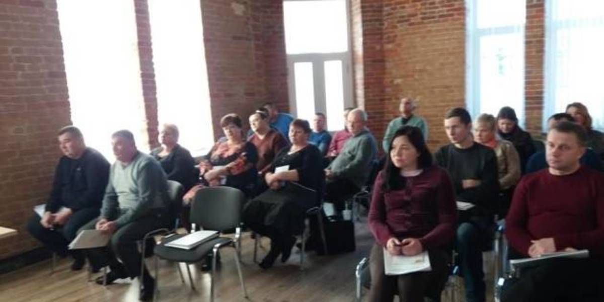
In Zhytomyr land surveyors discussed the use and hromadas’ land accounting
Representatives of amalgamated hromadas of the Zhytomyr Oblast discussed the importance of cartographic modeling for a reasonable management of land resources, territory planning and definition of the boundaries of settlements.
This issues were discussed during the seminar “Mapping of administrative-territorial structure”, which took place at the initiative of the Zhytomyr Local Government Development Centre, established with the support of the U-LEAD with Europe Programme and MinRegion.
The full version is available in Ukrainian – please click HERE

27 July 2026
Vacancy: Project Coordinator for Local Implementation Support
Vacancy: Project Coordinator for Local...
Description of the context To address the changing needs of Ukrainian municipalities and national level...
27 July 2026
UCORD підготував посібник з кадрової політики для агенцій регіонального розвитку
UCORD підготував посібник з кадрової політики...
Як побудувати сучасну систему управління персоналом в агенції регіонального розвитку? Як організувати прозорий добір...
25 July 2026
Майбутнє українських громад: Олександр Корнієнко - у подкасті «Врядування»
Майбутнє українських громад: Олександр...
«Якщо хоча б третина наших громад зможе одним реченням сказати, що це за громада і чого вона хоче,...
24 July 2026
Реорганізація чи перепрофілювання: як не помилитися, створюючи ліцей
Реорганізація чи перепрофілювання: як не...
Сесія ради громади відбулася. Рішення ухвалено. Школа І–ІІІ ступенів має стати академічним ліцеєм і,...