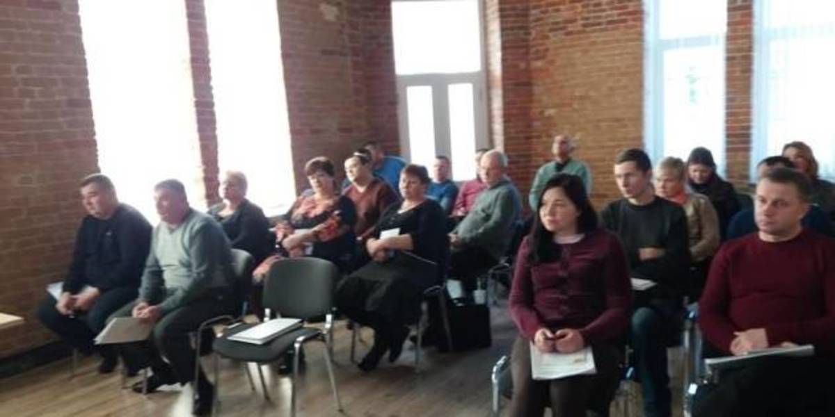
In Zhytomyr land surveyors discussed the use and hromadas’ land accounting
Representatives of amalgamated hromadas of the Zhytomyr Oblast discussed the importance of cartographic modeling for a reasonable management of land resources, territory planning and definition of the boundaries of settlements.
This issues were discussed during the seminar “Mapping of administrative-territorial structure”, which took place at the initiative of the Zhytomyr Local Government Development Centre, established with the support of the U-LEAD with Europe Programme and MinRegion.
The full version is available in Ukrainian – please click HERE

21 April 2026
Консультації з органами місцевого...
Комітет Верховної Ради України з питань організації державної влади, місцевого самоврядування, регіонального розвитку...
21 April 2026
Нові знання — нові стандарти: Як навчання фахівців Ізюма змінює якість медпослуг у громаді
Нові знання — нові стандарти: Як навчання...
Начальник відділу охорони здоров’я апарату виконавчого комітету Ізюмської міської ради Тетяна...
20 April 2026
Parliament proposes strengthening the role of community self-organisation bodies
Parliament proposes strengthening the role of...
A Draft Law of Ukraine ‘On Amendments to Certain Laws of Ukraine on Improving Legal Conditions for the Activities of...
20 April 2026
Key principles for post-war decentralisation...
Following the Fifth High-Level Dialogue, which was attended by Members of the Ukrainian Parliament and facilitated by...