In Zhytomyr land surveyors discussed the use and hromadas’ land accounting
Representatives of amalgamated hromadas of the Zhytomyr Oblast discussed the importance of cartographic modeling for a reasonable management of land resources, territory planning and definition of the boundaries of settlements.
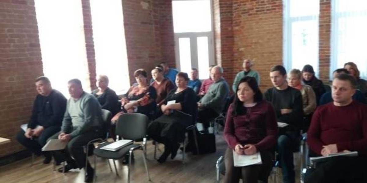
This issues were discussed during the seminar “Mapping of administrative-territorial structure”, which took place at the initiative of the Zhytomyr Local Government Development Centre, established with the support of the U-LEAD with Europe Programme and MinRegion.
The full version is available in Ukrainian – please click HERE
06 October 2026
Fiscal Decentralisation: 7 Hromadas selected for Partnership with the Polaris Programme
Fiscal Decentralisation: 7 Hromadas selected...
The Polaris Programme “Supporting Multilevel Governance in Ukraine” selected seven partner hromadas for...
06 October 2026
Ukraine’s European Path Is Being Built in Communities: Interview with CoR President Kata Tüttő
Ukraine’s European Path Is Being Built in...
Ukraine’s recovery is not simply about restoring destroyed buildings and infrastructure. It must give communities the...
05 October 2026
Органи влади запрошують організувати стажування...
ГО «Звитяжці» спільно з Національним агентством України з питань державної служби запрошує органи державної влади та...
05 October 2026
Де навчатимуться учні після 9 класу?
Де навчатимуться учні після 9 класу?
Майбутню мережу академічних ліцеїв України вже можна побачити на інтерактивній карті. На оновленому сайті «Реформа...