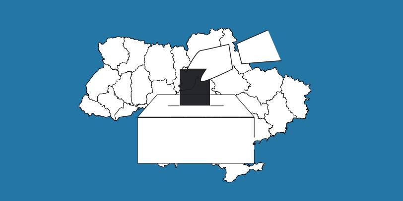
The OPORA network has created a map of the new rayons and hromadas of Ukraine
OPORA has created an interactive map of Ukraine, featuring the borders of the new rayons and hromadas, as well as information on the number of voters and types of election systems, functioning during 2020 local elections in autumn.
The map is available at: https://www.oporaua.org/longrid/map_2020.html

Tags:
rayon administrative and territorial structure
Source:
ОПОРА
12 June 2026
Фінансування проєктів відновлення: де і як громадам шукати ресурси
Фінансування проєктів відновлення: де і як...
Відновлення українських громад — це передусім про здатність ефективно управляти ресурсами. За оцінками RDNA 5...
11 June 2026
Освіта майбутнього починається у громадах: на Волині готуються до реформи старшої профільної школи
Освіта майбутнього починається у громадах: на...
Успіх реформи старшої профільної школи залежатиме від її реалізації на місцях, тому експерти проєкту DECIDE...
11 June 2026
Аналітичний огляд DECIDE: які рішення...
10 червня в Українському кризовому медіа-центрі відбулася презентація аналітичного огляду досвіду планування...
11 June 2026
Вакансія : Фахівець з безпеки/водій
Вакансія : Фахівець з безпеки/водій
Проєкт «Відновлення для всіх» (RFA) в пошуках Фахівця з безпеки/водія. Потрібно буде забезпечувати потреби...