The OPORA network has created a map of the new rayons and hromadas of Ukraine
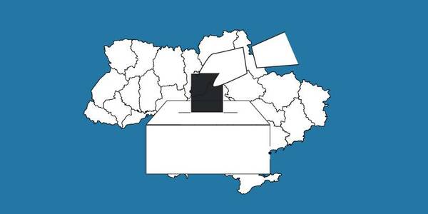
OPORA has created an interactive map of Ukraine, featuring the borders of the new rayons and hromadas, as well as information on the number of voters and types of election systems, functioning during 2020 local elections in autumn.
The map is available at: https://www.oporaua.org/longrid/map_2020.html
Tags:
rayon administrative and territorial structure
Source:
ОПОРА
07 July 2026
Продовжено закупівлю на надання послуг експерта...
Громадська організація «Розвиток громадянських компетентностей в Україні» (ГО «ДОККУ») проводить запит цінових...
07 July 2026
Визначено переможців відбору для реалізації...
Тисячі дітей та підлітків з Луганщини сьогодні живуть у різних регіонах України. Через безпекову ситуацію їхні...
07 July 2026
Invitation to Hromadas for Partnership in Locally-Led Recovery
Invitation to Hromadas for Partnership in...
The Swedish-Ukrainian Polaris Programme ‘Support for Multilevel Governance in Ukraine’ (2024–2028) supports the...
07 July 2026
Стартував відбір на Резиденцію ідей «Економіка стійкості»
Стартував відбір на Резиденцію ідей «Економіка...
До 16 липня триває відбір на Резиденцію ідей «Економіка стійкості», яка відбудеться у Львові 21–24 липня. Програма...