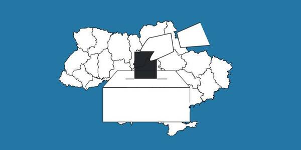
The OPORA network has created a map of the new rayons and hromadas of Ukraine
OPORA has created an interactive map of Ukraine, featuring the borders of the new rayons and hromadas, as well as information on the number of voters and types of election systems, functioning during 2020 local elections in autumn.
The map is available at: https://www.oporaua.org/longrid/map_2020.html
Tags:
rayon administrative and territorial structure
Source:
ОПОРА
09 October 2026
Добре врядування та якісна освіта: як залучити молодь до розвитку громад і доброчесного врядування
Добре врядування та якісна освіта: як залучити...
7 жовтня у Львові відбувся форум «Амбасадори доброчесності: освіта та партнерство заради розвитку громад»,...
09 October 2026
КРОКУС у регіонах: UCORD готує АРР до проєктного розвитку територій
КРОКУС у регіонах: UCORD готує АРР до...
A two-day training course on using the KROKUS platform for representatives of 20 regional development agencies was...
09 October 2026
«Я обираю майбутнє в Україні!»
«Я обираю майбутнє в Україні!»
Що потрібно, аби саме так могли сказати кожен учень і учениця, які завершують школу? Не просто знати назви...
08 October 2026
Recovery of medicine begins in communities: Why rehabilitation has to become part of local policy
Recovery of medicine begins in communities: Why...
Rehabilitation, accessible medical care, and a resilient healthcare infrastructure will play an increasingly crucial...