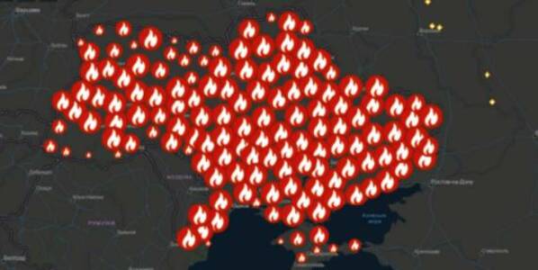
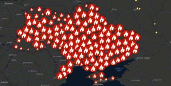
A beta-copy of the all-Ukrainian fire monitoring GIS-map has been created
Kyiv geo-analysts have created a tool to analyse fires in open ecosystems of Ukraine for the last five years, as well as to monitor fires, having broken out for the last two days.
“The all-Ukrainian GIS-map of fires in ecosystems of Ukraine for the last 5 years” has been created by the Centre for Innovation Development in cooperation with Heinrich Boell Foundation, Bureau Kyiv — Ukraine.
According to Vitaliy Selyk, the head of the project of the GIS-map development, while creating the tool, open satellite, governmental and non-governmental data were used (NASA, ESA-European Space Agency, OpenStreetMap, GeoPortalUA, StateGeoCadastre, State Emergency Service of Ukraine).
20 September 2026
Oleksandr Korniienko: The Carpathian Initiative...
The Carpathian Integration Initiative is intended to provide communities and regions not only with a new...
19 September 2026
"Ми маємо бути єдиним голосом усіх наших громад...
Карпатська інтеграційна ініціатива має стати основою для переходу до нового формату EUSCARP — Стратегії ЄС для...
18 September 2026
Віталій Безгін: підтримка громад має враховувати функціональний тип території
Віталій Безгін: підтримка громад має...
«Українські громади дуже різні за безпековими умовами, географією, економікою та потребами людей. Тому й державна...
18 September 2026
Вакансія: Експерт(-ка) з дошкільної освіти
Вакансія: Експерт(-ка) з дошкільної освіти
Опис контексту Щоб задовольнити мінливі потреби українських муніципалітетів і зацікавлених сторін на національному...