A beta-copy of the all-Ukrainian fire monitoring GIS-map has been created
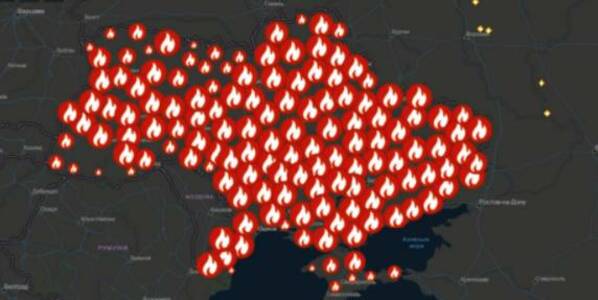
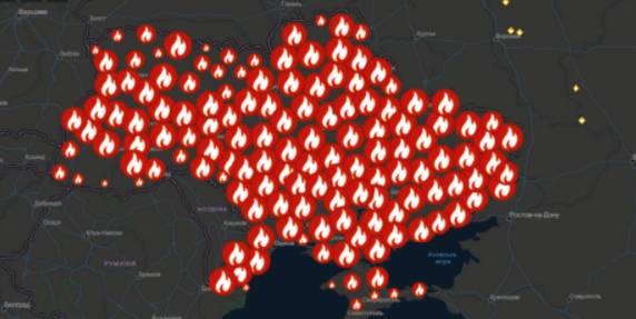
Kyiv geo-analysts have created a tool to analyse fires in open ecosystems of Ukraine for the last five years, as well as to monitor fires, having broken out for the last two days.
“The all-Ukrainian GIS-map of fires in ecosystems of Ukraine for the last 5 years” has been created by the Centre for Innovation Development in cooperation with Heinrich Boell Foundation, Bureau Kyiv — Ukraine.
According to Vitaliy Selyk, the head of the project of the GIS-map development, while creating the tool, open satellite, governmental and non-governmental data were used (NASA, ESA-European Space Agency, OpenStreetMap, GeoPortalUA, StateGeoCadastre, State Emergency Service of Ukraine).
09 October 2026
Добре врядування та якісна освіта: як залучити молодь до розвитку громад і доброчесного врядування
Добре врядування та якісна освіта: як залучити...
7 жовтня у Львові відбувся форум «Амбасадори доброчесності: освіта та партнерство заради розвитку громад»,...
09 October 2026
КРОКУС у регіонах: UCORD готує АРР до проєктного розвитку територій
КРОКУС у регіонах: UCORD готує АРР до...
A two-day training course on using the KROKUS platform for representatives of 20 regional development agencies was...
09 October 2026
«Я обираю майбутнє в Україні!»
«Я обираю майбутнє в Україні!»
Що потрібно, аби саме так могли сказати кожен учень і учениця, які завершують школу? Не просто знати назви...
08 October 2026
Recovery of medicine begins in communities: Why rehabilitation has to become part of local policy
Recovery of medicine begins in communities: Why...
Rehabilitation, accessible medical care, and a resilient healthcare infrastructure will play an increasingly crucial...