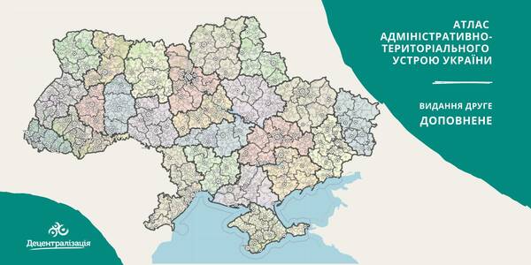
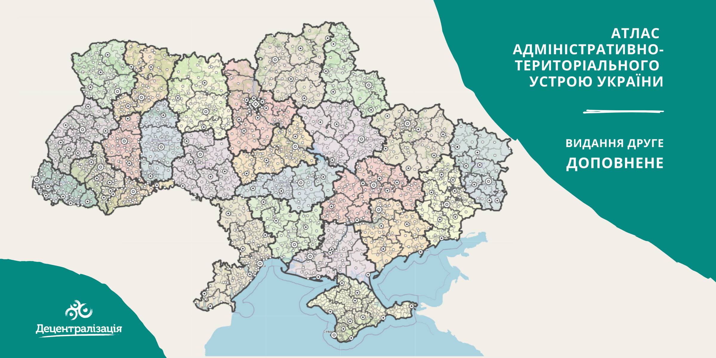
A collection of maps of administrative and territorial arrangement of Ukraine is available at the Decentralisation portal
- The second, updated edition of the collection of maps of administrative and territorial arrangement of Ukraine, including new rayons and territorial hromadas has appeared.
«Hromadas, rayons, population and the area are covered by the collection of maps. We tried our utmost to make it simple and easy to perceive and process the information. I think it will be helpful to high school pupils and students too. With time we are going to improve it», - commented Pavlo Ostapenko, the idea author and editor-in-chief of the collection of maps.
Tags:
administrative and territorial structure rayon Pavlo Ostapenko
Source:
Прес-центр ініціативи «Децентралізація»
06 July 2026
In June, UAH 38.5 billion transferred to...
In June 2026, the Ministry of Finance, in compliance with budgetary legislation, ensured the transfer of...
06 July 2026
Open Call for National Short-Term Legal Experts U-LEAD with Europe Phase III – DRD-ES Team
Open Call for National Short-Term Legal Experts...
Open Call for National Short-Term Experts: Legal Expertise on the Delimitation and Distribution of Powers among...
06 July 2026
U-LEAD training inspired the creation of Local...
The training programme ‘Steps for professionals. Participation of municipality residents in addressing local issues’...
03 July 2026
‘Ukrainian communities are now fully-fledged participants in the European dialogue’
‘Ukrainian communities are now fully-fledged...
Shyroke community in Zaporizhzhia region works in conditions that many European municipalities would find difficult...