Publicizing geospatial and meta data at the national geoportal by local self-government bodies - recommendations
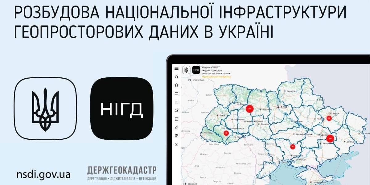
Ukraine is undergoing the process of creating, functioning and developing the national infrastructure of geospatial data. Under the legislation, executive bodies and local self-government are obliged to publicize geospatial and meta data at their official websites and reflect them with the help of the access service at the national geoportal.
The national geoportal prototype is functioning in the experimenting exploitation mode (nsdi.gov.ua), administered by the public enterprise «Scientific and research institute of mapping and geodesy». At the portal, 689 sets of geospatial data from the national, regional and local levels are available for browsing, downloading and processing.

Tags:
amalgamation of hromadas spatial planning
Source:
Державна служба України з питань геодезії, картографії та кадастру
27 July 2026
Vacancy: Project Coordinator for Local Implementation Support
Vacancy: Project Coordinator for Local...
Description of the context To address the changing needs of Ukrainian municipalities and national level...
27 July 2026
UCORD підготував посібник з кадрової політики для агенцій регіонального розвитку
UCORD підготував посібник з кадрової політики...
Як побудувати сучасну систему управління персоналом в агенції регіонального розвитку? Як організувати прозорий добір...
25 July 2026
Майбутнє українських громад: Олександр Корнієнко - у подкасті «Врядування»
Майбутнє українських громад: Олександр...
«Якщо хоча б третина наших громад зможе одним реченням сказати, що це за громада і чого вона хоче,...
24 July 2026
Реорганізація чи перепрофілювання: як не помилитися, створюючи ліцей
Реорганізація чи перепрофілювання: як не...
Сесія ради громади відбулася. Рішення ухвалено. Школа І–ІІІ ступенів має стати академічним ліцеєм і,...