Publicizing geospatial and meta data at the national geoportal by local self-government bodies - recommendations
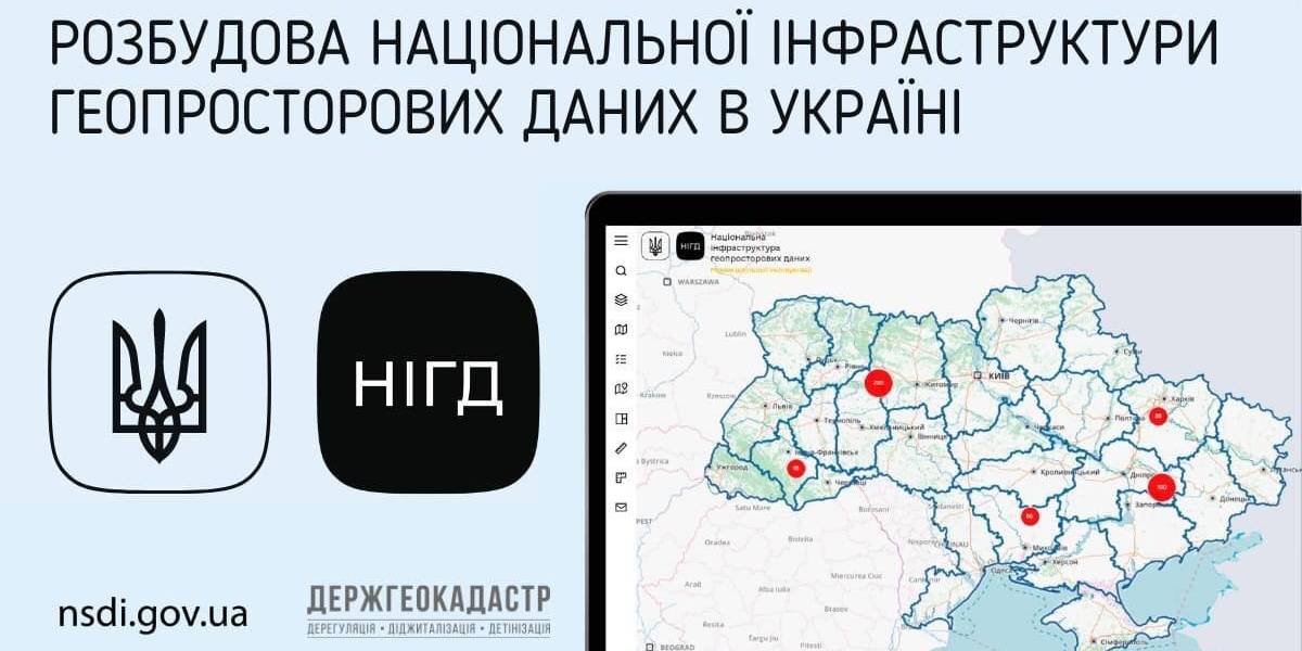
Ukraine is undergoing the process of creating, functioning and developing the national infrastructure of geospatial data. Under the legislation, executive bodies and local self-government are obliged to publicize geospatial and meta data at their official websites and reflect them with the help of the access service at the national geoportal.
The national geoportal prototype is functioning in the experimenting exploitation mode (nsdi.gov.ua), administered by the public enterprise «Scientific and research institute of mapping and geodesy». At the portal, 689 sets of geospatial data from the national, regional and local levels are available for browsing, downloading and processing.

Tags:
amalgamation of hromadas spatial planning
Source:
Державна служба України з питань геодезії, картографії та кадастру
03 July 2026
‘Ukrainian communities are now fully-fledged participants in the European dialogue’
‘Ukrainian communities are now fully-fledged...
Shyroke community in Zaporizhzhia region works in conditions that many European municipalities would find difficult...
03 July 2026
Accessibility of Tax Administrative Services: Results of the Local Self-Government Survey
Accessibility of Tax Administrative Services:...
The Polaris Programme, in partnership with the All-Ukrainian Association of Amalgamated Territorial Сommunities,...
03 July 2026
Вакансія: Експерт(-ка) з гендерних питань
Вакансія: Експерт(-ка) з гендерних питань
SALAR International та Avfall Sverige оголошують вакансію «Експерт(-ка) з гендерних питань» до програм WM4U...
03 July 2026
Tetiana Bordyug: ‘Communities choose life, which means development’
Tetiana Bordyug: ‘Communities choose life,...
Tetiana Bordyug, Head of the Regional Office of U-LEAD in Zaporizhzhia region on unconventional approaches to work...