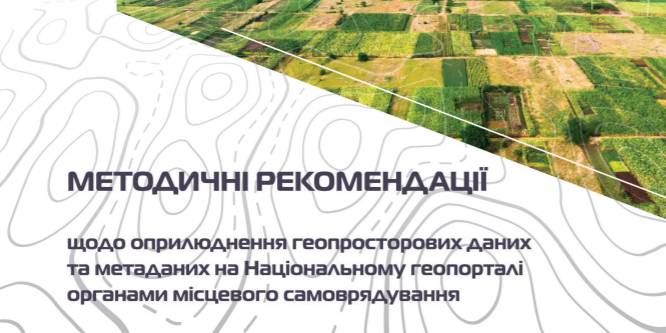
Guidelines on geospatial data publicized at the national geoportal have appeared
The Guidelines on geospatial data publicized at the national geoportal by local self-government bodies have been developed by the State Service of Ukraine on Geodesy, Mapping and Cadastre, the state enterprise of the Scientific and Research Institute of Geodesy and Mapping, the Chair of geoinformatics and photogrammetry of the Kyiv National University of Construction and Architecture, the Association of Ukrainian Cities.
The Guidelines represents mechanisms of information cooperation between national, regional and local geoportals while forming and publishing meta data, basic and thematic geospatial data on the basis of unified geoinformation webservices under the standards of the Open Geospatial Consortium (OGC) and technical requirements for geoinformation services of the INSPIRE EU member states infrastructure.

Tags:
spatial planning land elektronne vriaduvannia
Source:
Асоціація міст України
11 October 2026
From adversities to opportunities: UCORD and...
On 12 October, an international discussion “Regional pathways to turn crisis into competitive advantage: from...
09 October 2026
Добре врядування та якісна освіта: як залучити молодь до розвитку громад і доброчесного врядування
Добре врядування та якісна освіта: як залучити...
7 жовтня у Львові відбувся форум «Амбасадори доброчесності: освіта та партнерство заради розвитку громад»,...
09 October 2026
КРОКУС у регіонах: UCORD готує АРР до проєктного розвитку територій
КРОКУС у регіонах: UCORD готує АРР до...
A two-day training course on using the KROKUS platform for representatives of 20 regional development agencies was...
09 October 2026
«Я обираю майбутнє в Україні!»
«Я обираю майбутнє в Україні!»
Що потрібно, аби саме так могли сказати кожен учень і учениця, які завершують школу? Не просто знати назви...