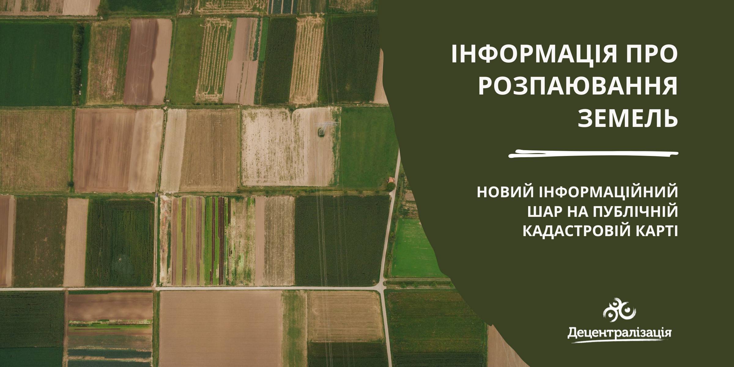
«Data on land shares» - a new information layer on the Public Cadastre Map
According to the State Service of geodesy, mapping and cadastre of Ukraine, a new information layer has appeared on the Public Cadastre Map.
Access to such data is vital for local self-government bodies as they have just become entitled to handle lands outside the settlement boundaries. Municipalities will be able to use the data to make an inventory and auditing of their land resources, identify free or occupied lands while approving decisions about giving permits for free privatization.
The data will be useful while developing complex plans of municipality territory special development, taking into account the fact that, under the legislation, all land shares, not having been demanded by 2025, have to be transferred to the communal property.

03 July 2026
‘Ukrainian communities are now fully-fledged participants in the European dialogue’
‘Ukrainian communities are now fully-fledged...
Shyroke community in Zaporizhzhia region works in conditions that many European municipalities would find difficult...
03 July 2026
Accessibility of Tax Administrative Services: Results of the Local Self-Government Survey
Accessibility of Tax Administrative Services:...
The Polaris Programme, in partnership with the All-Ukrainian Association of Amalgamated Territorial Сommunities,...
03 July 2026
Вакансія: Експерт(-ка) з гендерних питань
Вакансія: Експерт(-ка) з гендерних питань
SALAR International та Avfall Sverige оголошують вакансію «Експерт(-ка) з гендерних питань» до програм WM4U...
03 July 2026
Тетяна Бордюг: «Громади обирають життя, тобто, розвиток…»
Тетяна Бордюг: «Громади обирають життя, тобто,...
Керівниця регіонального офісу “U-LEAD з Європою” в Запорізькій області Тетяна Бордюг про нестандартні формати...