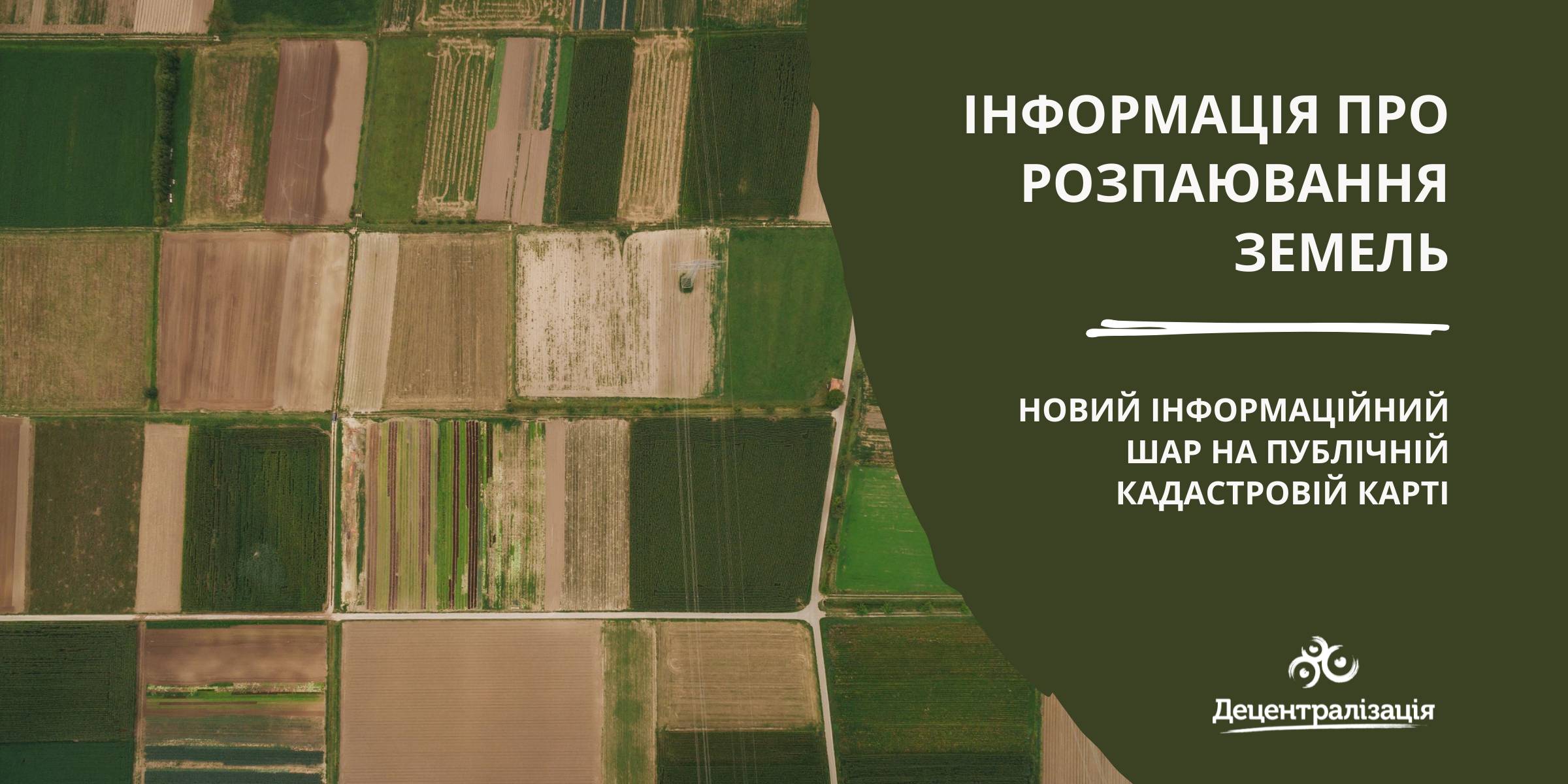
«Data on land shares» - a new information layer on the Public Cadastre Map
According to the State Service of geodesy, mapping and cadastre of Ukraine, a new information layer has appeared on the Public Cadastre Map.
Access to such data is vital for local self-government bodies as they have just become entitled to handle lands outside the settlement boundaries. Municipalities will be able to use the data to make an inventory and auditing of their land resources, identify free or occupied lands while approving decisions about giving permits for free privatization.
The data will be useful while developing complex plans of municipality territory special development, taking into account the fact that, under the legislation, all land shares, not having been demanded by 2025, have to be transferred to the communal property.

27 July 2026
Vacancy: Project Coordinator for Local Implementation Support
Vacancy: Project Coordinator for Local...
Description of the context To address the changing needs of Ukrainian municipalities and national level...
27 July 2026
UCORD підготував посібник з кадрової політики для агенцій регіонального розвитку
UCORD підготував посібник з кадрової політики...
Як побудувати сучасну систему управління персоналом в агенції регіонального розвитку? Як організувати прозорий добір...
25 July 2026
Майбутнє українських громад: Олександр Корнієнко - у подкасті «Врядування»
Майбутнє українських громад: Олександр...
«Якщо хоча б третина наших громад зможе одним реченням сказати, що це за громада і чого вона хоче,...
24 July 2026
Реорганізація чи перепрофілювання: як не помилитися, створюючи ліцей
Реорганізація чи перепрофілювання: як не...
Сесія ради громади відбулася. Рішення ухвалено. Школа І–ІІІ ступенів має стати академічним ліцеєм і,...