Fire monitoring and analysis maps have been developed for municipalities of eastern Ukraine
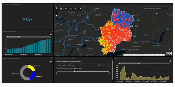
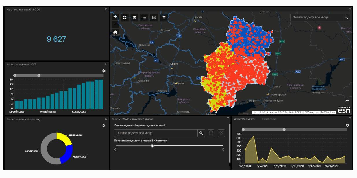
Within the project “No smoking” it was suggested that a geo-analytical tool (map) of fire monitoring and analysis should be developed on the basis of operational satellite and retrospective information on fires for the last five years for the purpose of efficiently planning preventive measures aimed at fighting large scale fires in municipalities. According to the competitive selection results, ten municipalities of the Donetsk and Luhansk oblasts. Moreover, regional maps enabling to analyze fire condition and dynamics for the last five years on the territory of the two oblasts.
The map has been developed on the basis of NASA satellite data, Public Cadastre Map, Nature Reserve Fund, including a set of information and analytical tools in terms of fire dynamics, location and scale, the area damaged by fire, etc.
Feel free to get acquainted with the developed maps at municipality sites or at https://cid.center/e-solutions/.
Tags:
Область:
Донецька область Луганська областьSource:
Центру розвитку інновацій
11 October 2026
From adversities to opportunities: UCORD and...
On 12 October, an international discussion “Regional pathways to turn crisis into competitive advantage: from...
09 October 2026
Добре врядування та якісна освіта: як залучити молодь до розвитку громад і доброчесного врядування
Добре врядування та якісна освіта: як залучити...
7 жовтня у Львові відбувся форум «Амбасадори доброчесності: освіта та партнерство заради розвитку громад»,...
09 October 2026
КРОКУС у регіонах: UCORD готує АРР до проєктного розвитку територій
КРОКУС у регіонах: UCORD готує АРР до...
A two-day training course on using the KROKUS platform for representatives of 20 regional development agencies was...
09 October 2026
«Я обираю майбутнє в Україні!»
«Я обираю майбутнє в Україні!»
Що потрібно, аби саме так могли сказати кожен учень і учениця, які завершують школу? Не просто знати назви...