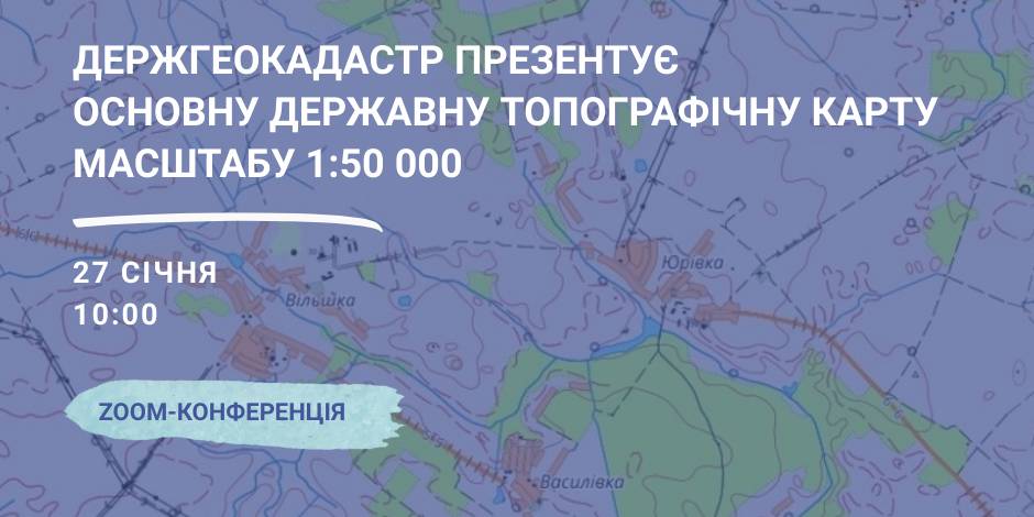
January, 27 – the StateGeoCadastre is to present the Main State Topographic Map with the scale of 1:50 000
On January, 27 the StateGeoCadastre is presenting the upgraded State Topographic Map.
The event starts at 10:00 A.M. at the open online ZOOM-conference, entitled “The role and place of the Main State Topographic Map with the scale of 1:50 000 for the realization of the national infrastructure of geospacer data”.
The conference will present the peculiarities of creation and upgrading of the Main State Topographic Map, opportunities of its application and usage in the future.
Representatives of the government agencies, local self-government, public organisations and experts in topography, geodesics and mapping are welcome to participate in the event.

12 May 2026
Фатальні кредити або Як громада захищає своїх підприємців
Фатальні кредити або Як громада захищає своїх...
Від редакції Ми публікуємо цей матеріал, бо він про річ, яку не виміряєш статистикою: довіру. Довіру людей до...
11 May 2026
Committee recommends that Parliament adopt...
The Verkhovna Rada Committee on the Organisation of State Power, Local Self-Government, Regional Development and...
11 May 2026
Ministry for Development and communities develop model for municipal social housing
Ministry for Development and communities...
The Ministry for Development of Communities and Territories of Ukraine hosted a meeting with representatives of local...
11 May 2026
Oleksii Riabykin presents Ukrainian experience...
Oleksii Riabykin, Deputy Minister for Development of Communities and Territories of Ukraine, delivered a speech...