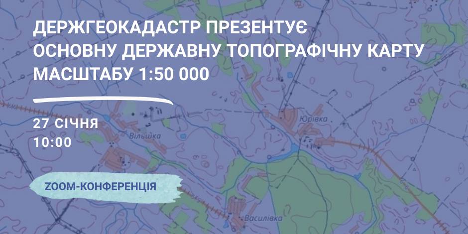
January, 27 – the StateGeoCadastre is to present the Main State Topographic Map with the scale of 1:50 000
On January, 27 the StateGeoCadastre is presenting the upgraded State Topographic Map.
The event starts at 10:00 A.M. at the open online ZOOM-conference, entitled “The role and place of the Main State Topographic Map with the scale of 1:50 000 for the realization of the national infrastructure of geospacer data”.
The conference will present the peculiarities of creation and upgrading of the Main State Topographic Map, opportunities of its application and usage in the future.
Representatives of the government agencies, local self-government, public organisations and experts in topography, geodesics and mapping are welcome to participate in the event.

03 July 2026
‘Ukrainian communities are now fully-fledged participants in the European dialogue’
‘Ukrainian communities are now fully-fledged...
Shyroke community in Zaporizhzhia region works in conditions that many European municipalities would find difficult...
03 July 2026
Accessibility of Tax Administrative Services: Results of the Local Self-Government Survey
Accessibility of Tax Administrative Services:...
The Polaris Programme, in partnership with the All-Ukrainian Association of Amalgamated Territorial Сommunities,...
03 July 2026
Вакансія: Експерт(-ка) з гендерних питань
Вакансія: Експерт(-ка) з гендерних питань
SALAR International та Avfall Sverige оголошують вакансію «Експерт(-ка) з гендерних питань» до програм WM4U...
03 July 2026
Тетяна Бордюг: «Громади обирають життя, тобто, розвиток…»
Тетяна Бордюг: «Громади обирають життя, тобто,...
Керівниця регіонального офісу “U-LEAD з Європою” в Запорізькій області Тетяна Бордюг про нестандартні формати...