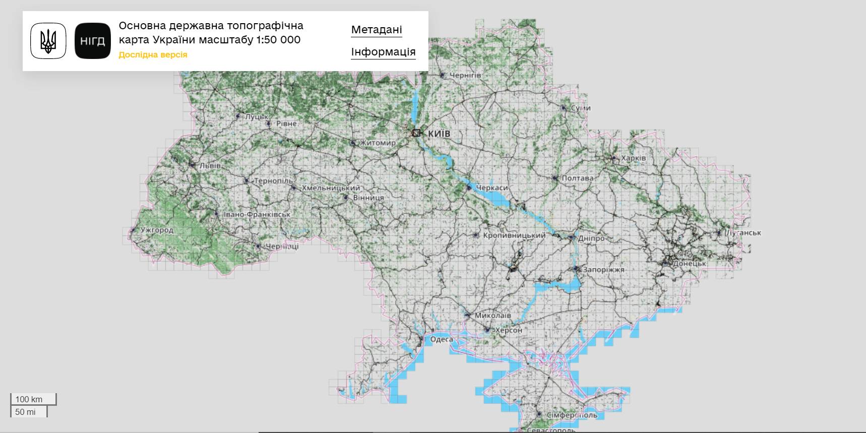
The StateGeoCadastre has publicized the Main State Topographic Map with the scale of 1:50 000
The StateGeoCadastre has created (updated) a digital topographic map with the scale of 1:50 000, as well as the topographic data basis of the territory of Ukraine.
The work was done within a joint project with the Mapping Service of the Kingdom of Norway «Maps to facilitate the proper land management in Ukraine» in 2018–2021.
On January, 27, 2022, the Map was presented during the online-conference.
The Director on International Services of the Mapping Service of the Kingdom of Norway Hans Christian Munthe Kaas emphasized the professional approach of the Ukrainian partners and underlined the significance of digital initiatives development and geospatial data accessibility in Ukraine.
The Map is available at: https://nsdi.gov.ua/map50k.

Tags:
stratehiia rozvytku spatial planning
Source:
Урядовий портал
06 April 2026
Анонс: вебінар «Громадські обговорення під час...
Запрошуємо керівників органів управління освітою, управлінські команди закладів освіти та юристів органів...
06 April 2026
Підтримка сільських громад, удосконалення...
Підтримка сільських громад, удосконалення виборчої системи, посилення ролі асоціацій ОМС – ключові питання для...
06 April 2026
«5,4 млрд євро на стійкість: громади мають виконати плани до 1 жовтня 2026 року» – Олексій Кулеба
«5,4 млрд євро на стійкість: громади мають...
Віцепрем’єр-міністр з відновлення України – Міністр розвитку громад та територій Олексій Кулеба в інтерв’ю...
06 April 2026
Анонс: вебінар «Піклувальна рада закладів...
Запрошуємо керівників органів управління освітою, управлінські команди територіальних громад та керівників...