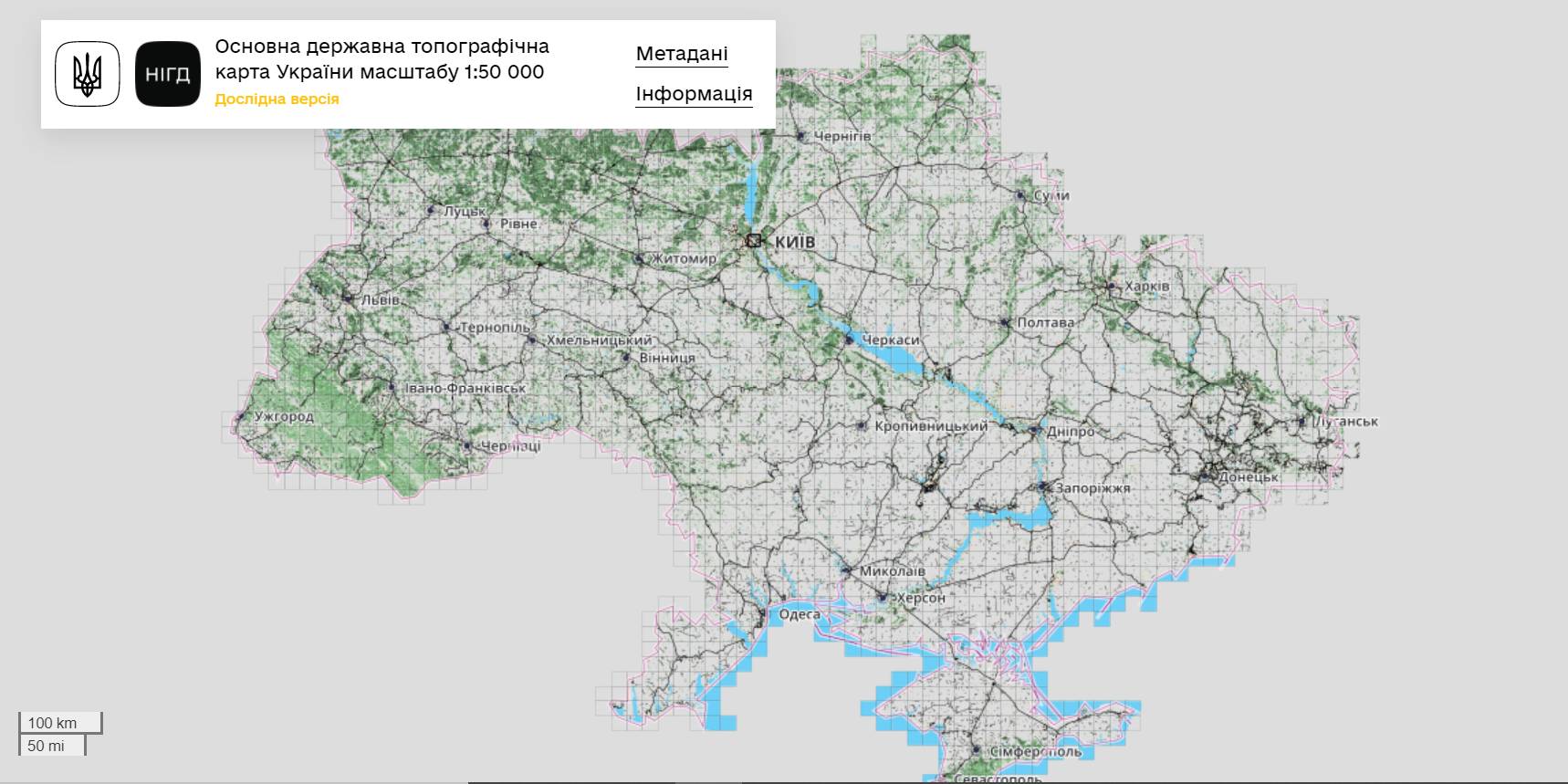
The StateGeoCadastre has publicized the Main State Topographic Map with the scale of 1:50 000
The StateGeoCadastre has created (updated) a digital topographic map with the scale of 1:50 000, as well as the topographic data basis of the territory of Ukraine.
The work was done within a joint project with the Mapping Service of the Kingdom of Norway «Maps to facilitate the proper land management in Ukraine» in 2018–2021.
On January, 27, 2022, the Map was presented during the online-conference.
The Director on International Services of the Mapping Service of the Kingdom of Norway Hans Christian Munthe Kaas emphasized the professional approach of the Ukrainian partners and underlined the significance of digital initiatives development and geospatial data accessibility in Ukraine.
The Map is available at: https://nsdi.gov.ua/map50k.

Tags:
stratehiia rozvytku spatial planning
Source:
Урядовий портал
03 July 2026
‘Ukrainian communities are now fully-fledged participants in the European dialogue’
‘Ukrainian communities are now fully-fledged...
Shyroke community in Zaporizhzhia region works in conditions that many European municipalities would find difficult...
03 July 2026
Accessibility of Tax Administrative Services: Results of the Local Self-Government Survey
Accessibility of Tax Administrative Services:...
The Polaris Programme, in partnership with the All-Ukrainian Association of Amalgamated Territorial Сommunities,...
03 July 2026
Вакансія: Експерт(-ка) з гендерних питань
Вакансія: Експерт(-ка) з гендерних питань
SALAR International та Avfall Sverige оголошують вакансію «Експерт(-ка) з гендерних питань» до програм WM4U...
03 July 2026
Тетяна Бордюг: «Громади обирають життя, тобто, розвиток…»
Тетяна Бордюг: «Громади обирають життя, тобто,...
Керівниця регіонального офісу “U-LEAD з Європою” в Запорізькій області Тетяна Бордюг про нестандартні формати...