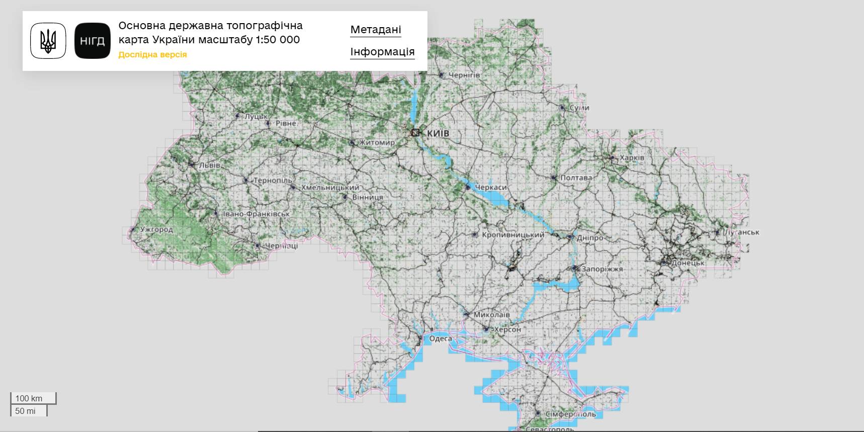
The StateGeoCadastre has publicized the Main State Topographic Map with the scale of 1:50 000
The StateGeoCadastre has created (updated) a digital topographic map with the scale of 1:50 000, as well as the topographic data basis of the territory of Ukraine.
The work was done within a joint project with the Mapping Service of the Kingdom of Norway «Maps to facilitate the proper land management in Ukraine» in 2018–2021.
On January, 27, 2022, the Map was presented during the online-conference.
The Director on International Services of the Mapping Service of the Kingdom of Norway Hans Christian Munthe Kaas emphasized the professional approach of the Ukrainian partners and underlined the significance of digital initiatives development and geospatial data accessibility in Ukraine.
The Map is available at: https://nsdi.gov.ua/map50k.

13 March 2026
Вінниччина розпочинає стратегічне партнерство з...
рація започаткувала довгострокове партнерство з німецькою землею Рейнланд-Пфальц. Меморандум про співробітництво...
13 March 2026
Учні 9-х класів можуть завершити школу без зміни закладу освіти
Учні 9-х класів можуть завершити школу без...
Учні 9-х класів можуть за власним бажанням завершити навчання в рідній школі, без необхідності переходити до іншого...
13 March 2026
Стартувала сьома Навчальна платформа для керівників ЦНАП
Стартувала сьома Навчальна платформа для...
5 березня 2026 року розпочалося навчання сьомої Навчальної платформи для керівників ЦНАП, що реалізується у...
13 March 2026
Understanding EU Structural Funds through their Potential Transformation
Understanding EU Structural Funds through their...
The European Union is gearing up for its next long-term budget cycle, the Multiannual Financial Framework for...