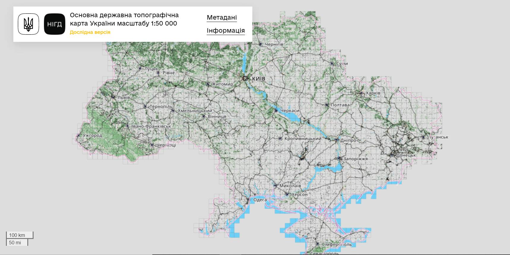
The StateGeoCadastre has publicized the Main State Topographic Map with the scale of 1:50 000
The StateGeoCadastre has created (updated) a digital topographic map with the scale of 1:50 000, as well as the topographic data basis of the territory of Ukraine.
The work was done within a joint project with the Mapping Service of the Kingdom of Norway «Maps to facilitate the proper land management in Ukraine» in 2018–2021.
On January, 27, 2022, the Map was presented during the online-conference.
The Director on International Services of the Mapping Service of the Kingdom of Norway Hans Christian Munthe Kaas emphasized the professional approach of the Ukrainian partners and underlined the significance of digital initiatives development and geospatial data accessibility in Ukraine.
The Map is available at: https://nsdi.gov.ua/map50k.

Tags:
stratehiia rozvytku spatial planning
Source:
Урядовий портал
27 July 2026
Vacancy: Project Coordinator for Local Implementation Support
Vacancy: Project Coordinator for Local...
Description of the context To address the changing needs of Ukrainian municipalities and national level...
27 July 2026
UCORD підготував посібник з кадрової політики для агенцій регіонального розвитку
UCORD підготував посібник з кадрової політики...
Як побудувати сучасну систему управління персоналом в агенції регіонального розвитку? Як організувати прозорий добір...
25 July 2026
Майбутнє українських громад: Олександр Корнієнко - у подкасті «Врядування»
Майбутнє українських громад: Олександр...
«Якщо хоча б третина наших громад зможе одним реченням сказати, що це за громада і чого вона хоче,...
24 July 2026
Реорганізація чи перепрофілювання: як не помилитися, створюючи ліцей
Реорганізація чи перепрофілювання: як не...
Сесія ради громади відбулася. Рішення ухвалено. Школа І–ІІІ ступенів має стати академічним ліцеєм і,...