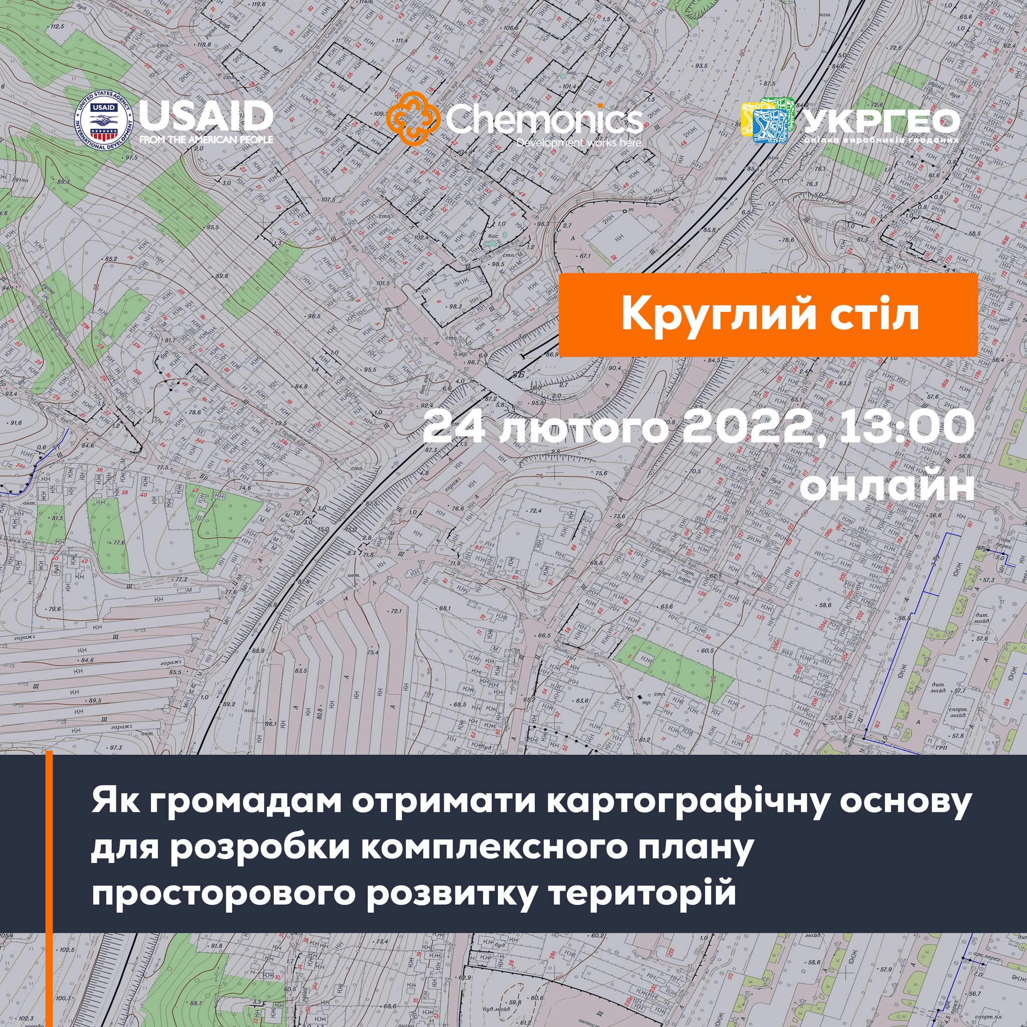
February, 24: the round table “How can municipalities get the cartographic base for the spatial development complex plan”
At 1 P.M. on February, 24 there will start the online-round table «How can municipalities get the cartographic base for the spatial development complex plan». The event will be held within the project “Supporting municipalities in land management”, organized by UkrGeo and StateGeoCadastre with support of the AGRO USAID Programme.
To participate in the event, one should register at: https://forms.gle/SuwYWuFyZwLpmBA47.
Attached images:
Tags:
Source:
Програма USAID з аграрного і сільського розвитку - АГРО
11 October 2026
From adversities to opportunities: UCORD and...
On 12 October, an international discussion “Regional pathways to turn crisis into competitive advantage: from...
09 October 2026
Добре врядування та якісна освіта: як залучити молодь до розвитку громад і доброчесного врядування
Добре врядування та якісна освіта: як залучити...
7 жовтня у Львові відбувся форум «Амбасадори доброчесності: освіта та партнерство заради розвитку громад»,...
09 October 2026
КРОКУС у регіонах: UCORD готує АРР до проєктного розвитку територій
КРОКУС у регіонах: UCORD готує АРР до...
A two-day training course on using the KROKUS platform for representatives of 20 regional development agencies was...
09 October 2026
«Я обираю майбутнє в Україні!»
«Я обираю майбутнє в Україні!»
Що потрібно, аби саме так могли сказати кожен учень і учениця, які завершують школу? Не просто знати назви...