Interactive map of amalgamated hromadas appeared in Kirovohrad Oblast
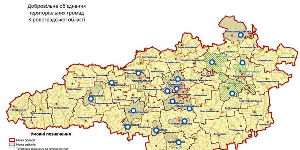
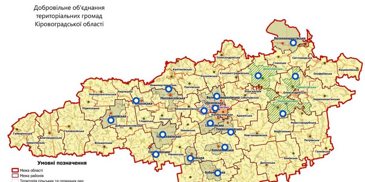
An interactive map of amalgamated hromadas was created in the Kirovohrad Oblast, as reported by the Kirovohrad Local Government Development Centre.
The interactive map reflects the boundaries of existing and perspective AHs – there are 14 of them. There are also three hromadas – the Novoprazka, Pryiutivska and Dmytrivska AHs, where the first elections were scheduled for the spring 2018.
The Hruzkivska and Maryanivska AHs have already received conclusions from the oblast state administration and are in the process of filing documents to the CEC regarding the appointment of the first elections.
The map is available by the link: https://www.thinglink.com/scene/1032922678643654659
Область:
Кіровоградська областьSource:
Кіровоградський Центр розвитку місцевого самоврядування
08 July 2026
Державна стратегія регіонального розвитку має...
У Міністерстві розвитку громад та територій України відбувся дводенний воркшоп, присвячений підготовці нового циклу...
08 July 2026
Мінфін: у I півріччі 2026 року до загального фонду місцевих бюджетів надійшло 287,7 млрд грн
Мінфін: у I півріччі 2026 року до загального...
Протягом I півріччя 2026 року до загального фонду місцевих бюджетів надійшло 287,7 млрд грн, що на 41,9 млрд грн...
08 July 2026
The future of specialised secondary education...
Last year and this year, four DECIDE expert teams, who work with communities across Ukraine, have been providing...
08 July 2026
Accessible healthcare in rural areas: Experience of Bilotserkivka community
Accessible healthcare in rural areas:...
In small communities, quality medical care often seems like a luxury: there is a shortage of equipment, doctors, and...