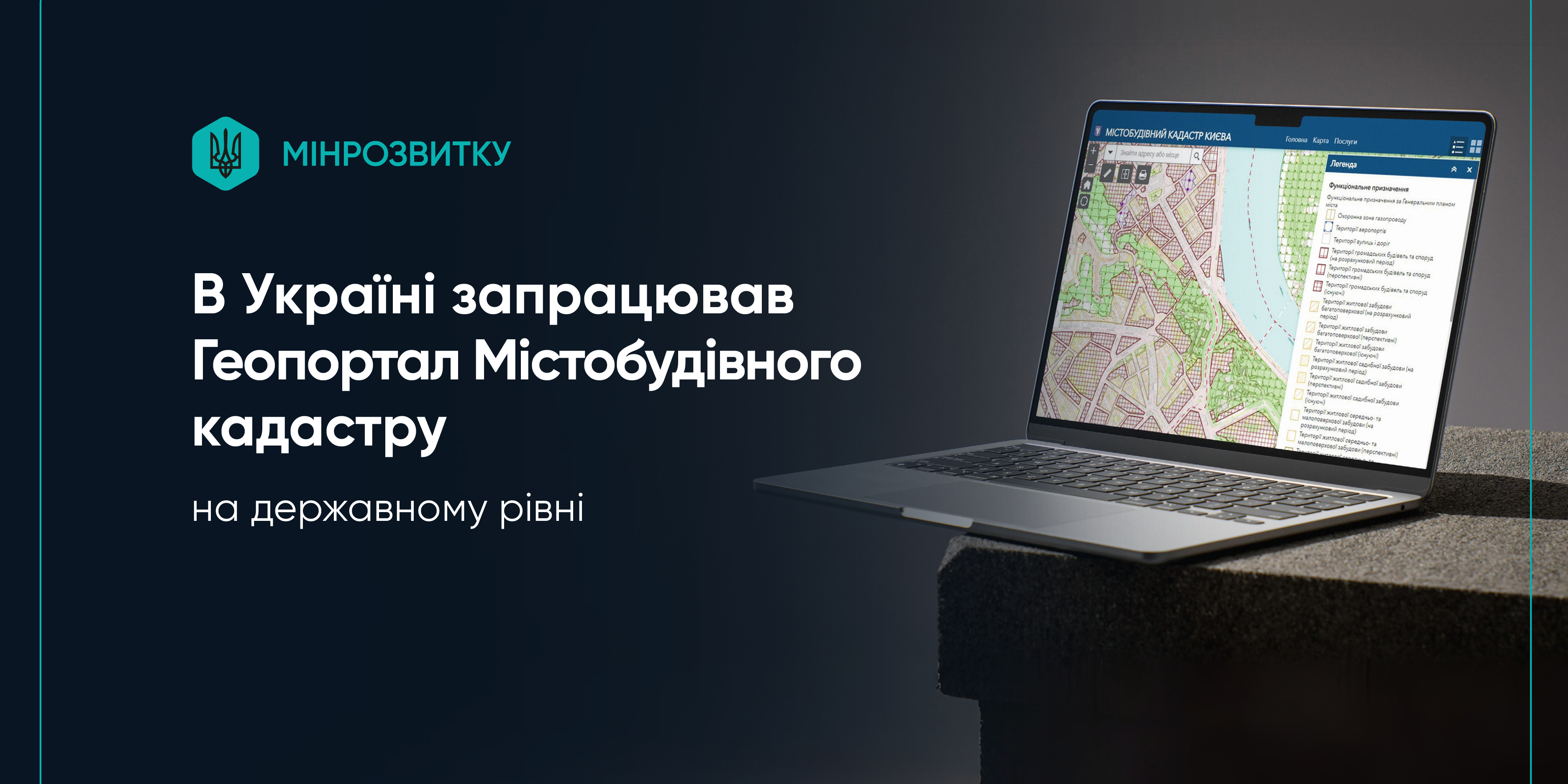
Urban Development Cadastre Geoportal launched at the state level in Ukraine
From now on, information about current and new urban planning documentation is available online at kadastr.gov.ua. The State Urban Development Cadastre Geoportal (SUDCG) is a cutting-edge service that consolidates data from all Ukrainian communities into a unified electronic system.
How the Geoportal works
Local governments upload urban planning documents to the system, which are then displayed immediately on the map.
As of now:
- a total of 1,237 communities have been granted the authority to order documentation;
- 1,015 communities have already connected to the SUPCG;
- the database contains 1,806 valid urban planning documents and 91 draft documents.
The portal is accessible to citizens, government agencies, architects, engineers and other specialists. It features convenient electronic accounts for customers, developers and experts, as well as automatic geodata verification and publication of materials.
Why it is important
The implementation of the SUPCG is regulated by a Government resolution and represents a significant milestone in the digitisation of urban planning. The service:
- speeds up the process of obtaining permits;
- allows users to view geodata on the map;
- reduces conflicts in the construction sector;
- prevents the loss or falsification of documents.
Some information is not displayed during martial law for security reasons.
The urban development cadastre is being implemented at the national level in cooperation with the Ministry for Development of Communities and Territories of Ukraine and the Ministry of Digital Transformation of Ukraine, with support from the Digitalisation for Growth, Integrity and Transparency (UK DIGIT) project, which is implemented by the Eurasia Foundation and funded by UK Dev. The project partner is the East Europe Foundation.
For reference:
Implementation of the Urban Development Cadastre at state level began in December 2024. The following seven key digital systems and registries are connected to it:
- Single State Register of Addresses;
- Register of Administrative-Territorial Structure;
- Single Electronic System in the Field of Construction;
- Register of Buildings and Structures;
- Register of Urban Planning Documentation;
- National Database of Energy and Operational Characteristics of Buildings;
- Electronic Pricing System in Construction.
Together, they ensure transparency in reconstruction and the development of construction and modern spatial planning.
The SUPCG was established in accordance with Ukrainian legislation and international obligations, particularly within the framework of the EU Ukraine Facility programme. The SUPCG is part of the State Anti-Corruption Programme for 2023–2025, which aims to identify and minimise key corruption risks by implementing appropriate measures.
The Urban Development Cadastre is being implemented at the national level in cooperation with the Ministry for Development of Communities and Territories of Ukraine and the Ministry of Digital Transformation of Ukraine, with support from the Digitalisation for Growth, Integrity and Transparency (UK DIGIT) project, which is implemented by the Eurasia Foundation and funded by UK Dev. The project partner is the East Europe Foundation.

03 August 2026
Продовжено закупівлю на надання послуг експерта...
Громадська організація «Розвиток громадянських компетентностей в Україні» (ГО «ДОККУ») проводить запит цінових...
03 August 2026
Анонс: вебінар «Правовий статус керівника...
До участі запрошуємо керівників органів управління освітою, директорів закладів загальної середньої освіти, їхніх...
03 August 2026
848 договорів між громадами, 2 112 міжнародних...
Реформа місцевого самоврядування та територіальної організації влади змінила не лише карту громад. Вона створила...
03 August 2026
Більшість правил Європейського AI Act набули чинності: що це означає для місцевого самоврядування
Більшість правил Європейського AI Act набули...
2 серпня 2026 року в Європейському Союзі почала застосовуватися більшість положень Закону про штучний інтелект - EU...