Publicizing geospatial and meta data at the national geoportal by local self-government bodies - recommendations
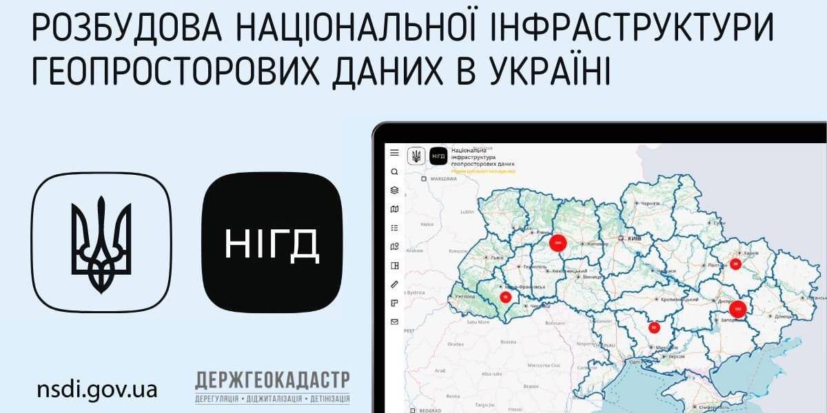
Ukraine is undergoing the process of creating, functioning and developing the national infrastructure of geospatial data. Under the legislation, executive bodies and local self-government are obliged to publicize geospatial and meta data at their official websites and reflect them with the help of the access service at the national geoportal.
The national geoportal prototype is functioning in the experimenting exploitation mode (nsdi.gov.ua), administered by the public enterprise «Scientific and research institute of mapping and geodesy». At the portal, 689 sets of geospatial data from the national, regional and local levels are available for browsing, downloading and processing.

Tags:
amalgamation of hromadas spatial planning
Source:
Державна служба України з питань геодезії, картографії та кадастру
26 October 2026
Стратегічне мислення, сталий розвиток і...
Фото SKEW ( Engagement global) Муніципальні партнерства є дієвим інструментом євроінтеграції України. Це...
26 October 2026
How to keep youth in the village? Experience of Keretsky community
How to keep youth in the village? Experience of...
How Keretsky community in Zakarpattia region seriously approached career guidance for young people, and what the...
26 October 2026
Locally-Led Recovery: Polaris Experts Present...
On 20–21 October, a launch conference was held in Lviv, during which eight hromadas joined the Polaris Programme as...
26 October 2026
III International Forum on Agglomerations: How communities in Europe address common challenges
III International Forum on Agglomerations: How...
Residents commute between communities for work and study, and use shared transport and engineering infrastructure....